

The main difference between remote sensing satellites and communication satellite services lies in their application areas and functions. Remote sensing satellites are mainly used to collect and analyze information on the Earth's surface through sensors, while communication satellites are mainly used to achieve wireless communication between satellites, Earth stations, and spacecraft.
Remote sensing satellites collect and process electromagnetic wave information from the Earth's surface through various sensing instruments on satellite platforms, achieving detection and identification of various ground objects. Remote sensing satellites can operate in orbit for several years, with advantages such as large observation coverage, the ability to conduct repeated continuous observations, fast data collection, and large data volume. They are widely used in fields such as agriculture, forestry, oceanography, land use, environmental protection, meteorology, etc.
Communication satellites use satellites as relay stations for data communication, transmitting information such as telephone, telegraph, fax, data, and television. Communication satellites play an important role in fields such as the Internet of Things, remote education, and telemedicine, enabling real-time communication and data transmission across regions.
Not all satellites can be used for remote sensing, navigation, and positioning, and the focus of different satellites is different. The differences between remote sensing satellites, navigation satellites, and communication satellites are as follows:
1. Different uses
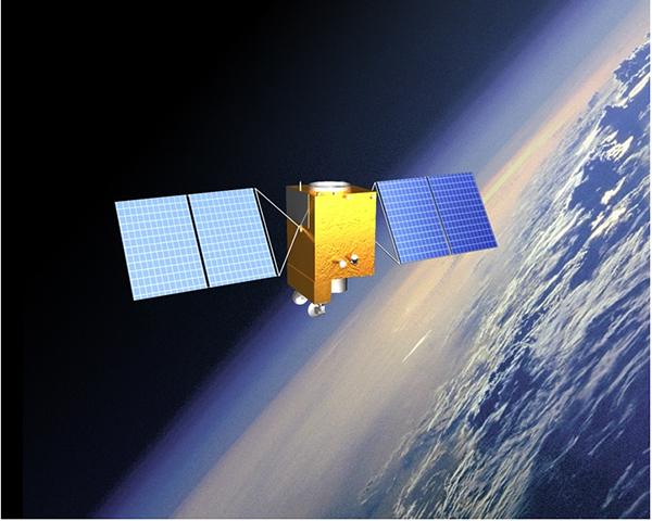
Remote sensing satellites are satellites used as remote sensing platforms in outer space. As the name suggests, navigation satellites continuously transmit radio signals through satellites to provide navigation and positioning to users on the ground, in the ocean, in the air, and in space. Communication satellites are mainly used to enable wireless communication between satellites, earth stations, and spacecraft.
2. Located on different tracks
Remote sensing satellites usually operate along a geosynchronous orbit. Navigation satellites include satellites that orbit along the geostationary orbit, as well as satellites that orbit along inclined geosynchronous orbit and medium circular Earth orbit. Communication satellites are generally in geostationary orbit, but large elliptical orbit, medium orbit, and low orbit communication satellites are also used.
Key technologies include optical remote sensing technology that combines high spatial resolution, multispectral and high temporal resolution, multi payload image stitching and fusion technology, high-precision and high stability attitude control technology, 5-8 year lifespan and high reliability low orbit satellite technology, and high-resolution data processing and application.
A civilian optical remote sensing satellite with a spatial resolution better than 1 meter, equipped with two high-resolution 1-meter panchromatic and 4-meter multispectral cameras, has sub meter level spatial resolution, high positioning accuracy, and fast attitude maneuverability, effectively improving the comprehensive observation efficiency of the satellite and reaching the international advanced level.
The first C-band multi polarized synthetic aperture radar (SAR) satellite with a resolution of 1 meter has significantly improved China's ability to conduct remote sensing observations of the Earth. It is an important foundation for high-resolution special projects to achieve spatiotemporal coordination, all-weather, and all day observation of the Earth.
Geosynchronous orbit satellites have the characteristics of high spatial resolution, multiple payload types, strong maneuverability, wide range, and rapid imaging, which can provide important support for business operations such as early warning and disaster decision-making assistance.
The effective detection of regional atmospheric pollutants by satellites can meet the urgent needs of comprehensive environmental monitoring, and is an important symbol of China's ability to achieve high spectral resolution for Earth observation.
This is a low orbit optical remote sensing satellite, a high-resolution satellite capable of precise agricultural observation, with a combination of high resolution and wide coverage. Its image data is mainly used in the fields of agriculture, forestry, and disaster reduction, taking into account application needs such as environmental protection, national security, and housing construction.
Sub meter level optical transmission type stereo surveying satellite. It is equipped with payloads such as dual line array stereo cameras and laser altimeters, breaking through the technology of sub meter stereo mapping cameras and capable of obtaining high spatial resolution optical stereo observation data and high-precision laser altimetry data.
Satellites provide strong support for major issues such as national, diplomatic, public safety, agriculture, disasters, resources, environment, enterprises, satellite communication, unmanned driving, unmanned aerial vehicles, and future technological development.